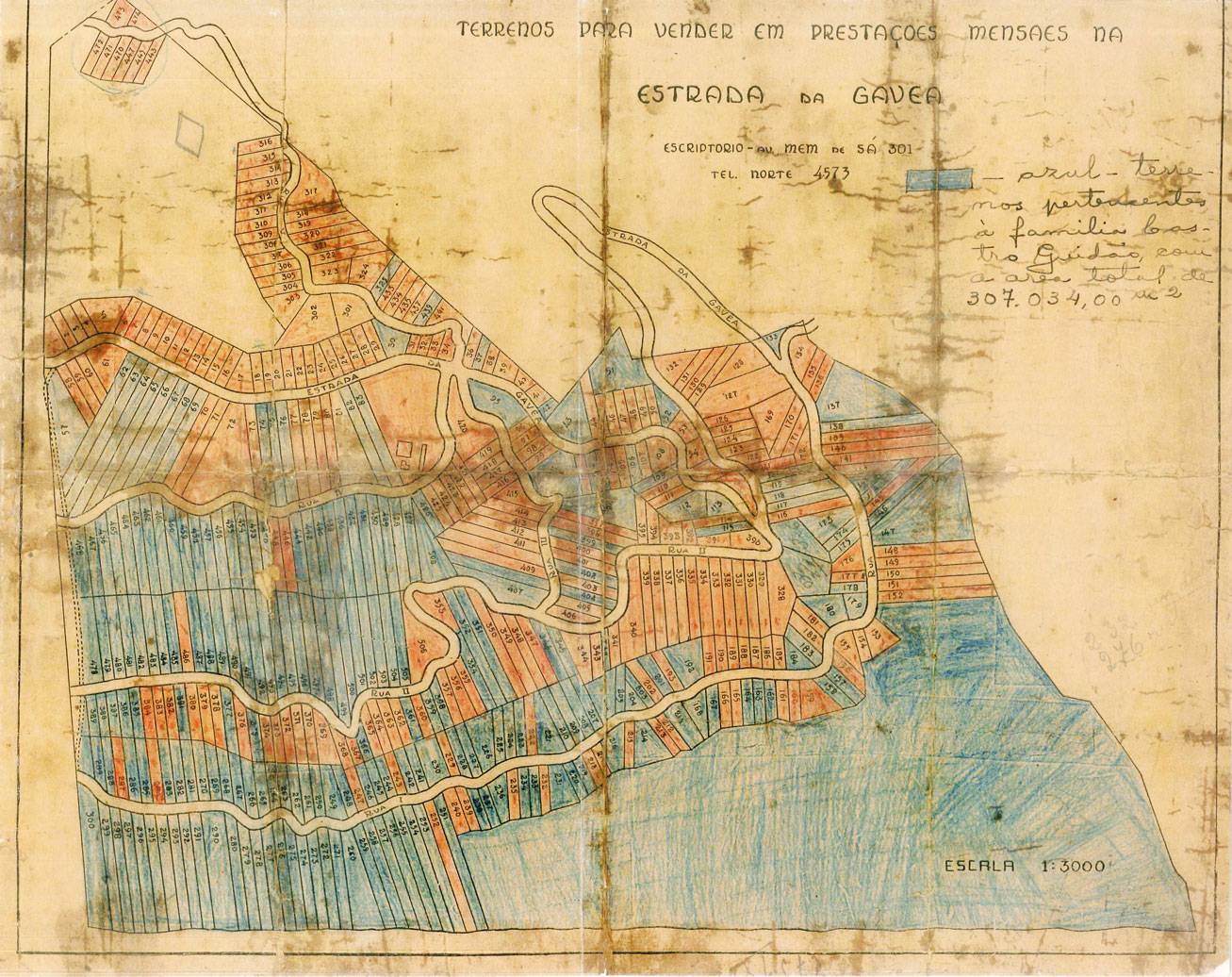
Welcome to Rocinha! This geo-referenced map presents visual memories of the favela, layered on top of the natural landscape. Navigating through Rocinha’s modern-day subregions and points of reference, you can view photographs and videos created by members of the Rocinha community over the course of many years. To send us your own visual memories and further enrich this collaborative map, go to the Photo Gallery

Map of the Divvying Up of the Quebra-Cangalha Farm

In the 1920s, the Quebra-Cangalha Farm was divvied up by the Castro Guidão family into 81 tracts of land, which were unregulated by the city hall. The lots colored red on the map were sold directly to Portuguese and Spanish merchants and laborers in local textile factories. The blue lots were sold to the general public. The map shows the original path of Estrada da Gávea and the subregions Rua Um, Rua Dois, Rua Três, Rua Quatro, and Rua Cinco (now called Rua Dionéia), five of the major subregions of modern-day Rocinha.
share