Gávea and Rocinha

home / points of view / Gávea and Rocinha

Left photo by Ailton Silva (2015) / Right photo by Augusto Malta (undated) (IMS archive)
These two pictures were taken from the roof of one of the buildings at the Jockey Club Brasileiro, in Gávea’s Santos Dumont Square. The club is home to the largest racetrack in Brazil, which has long served as a gathering space for Rio’s elite.


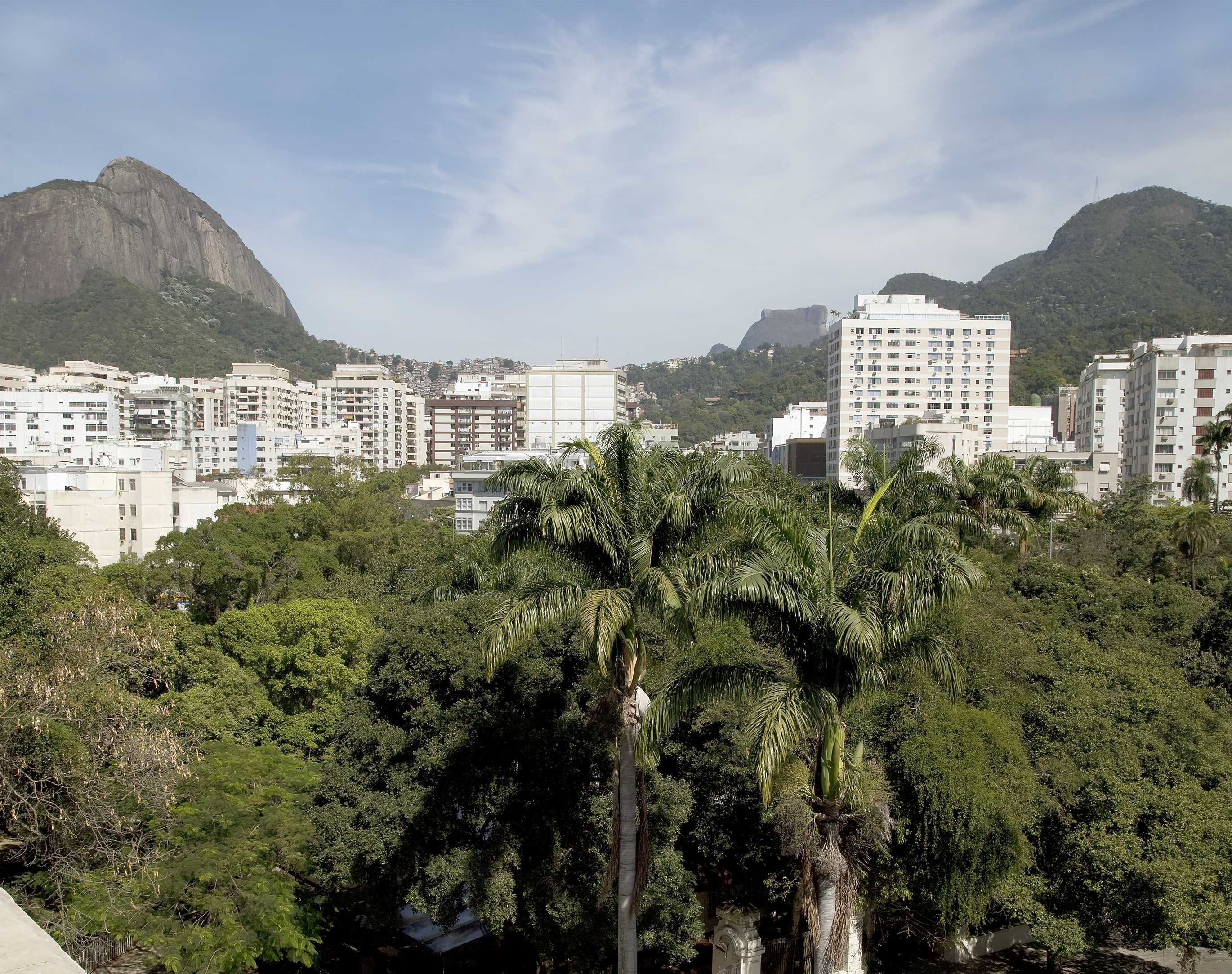
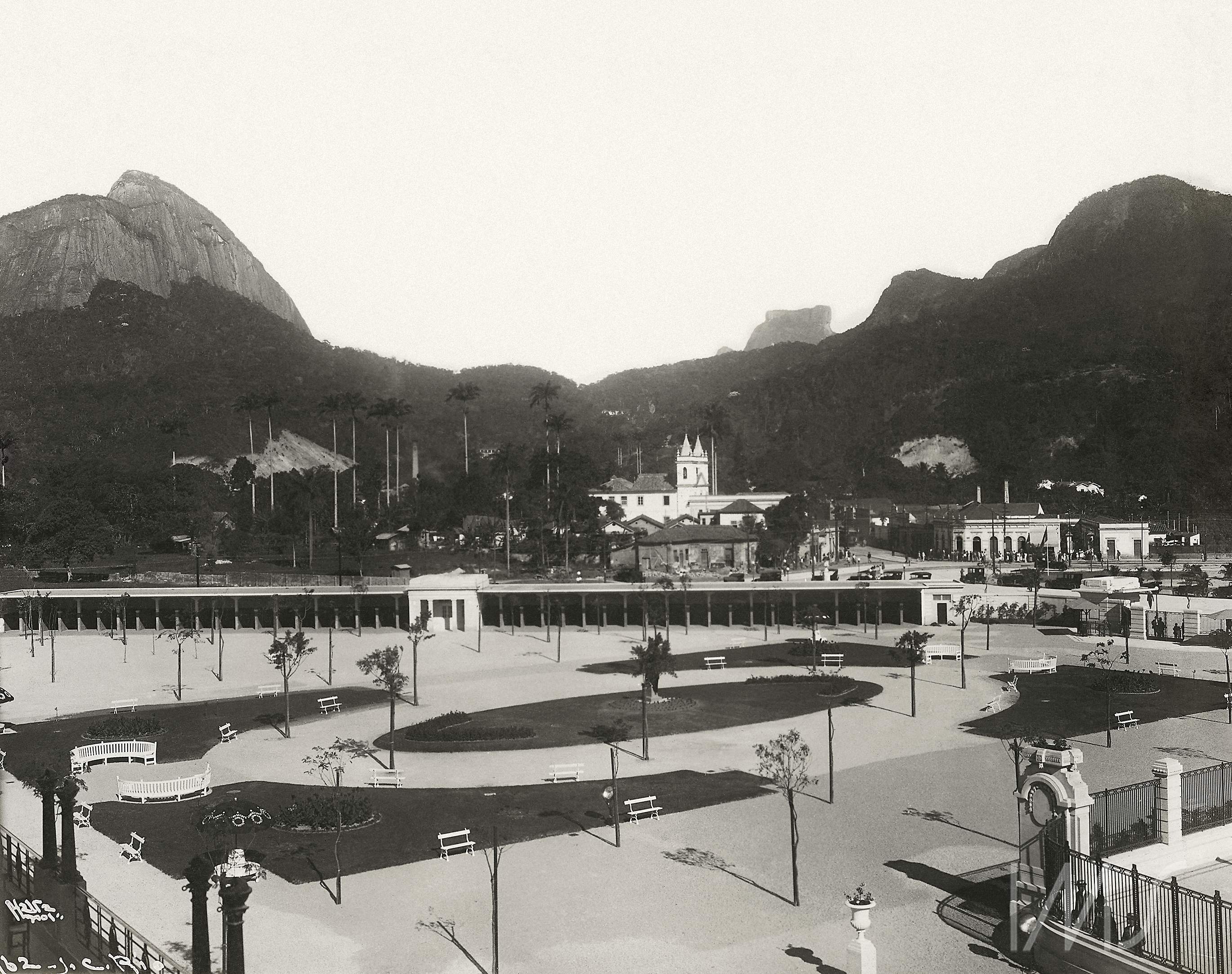
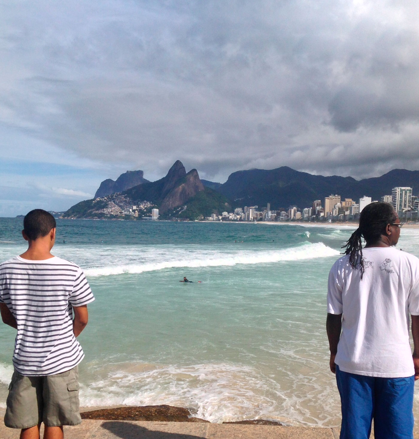
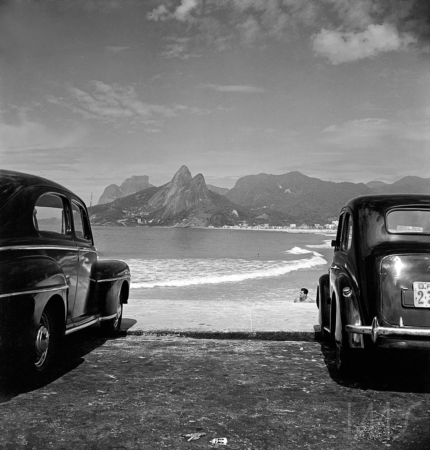
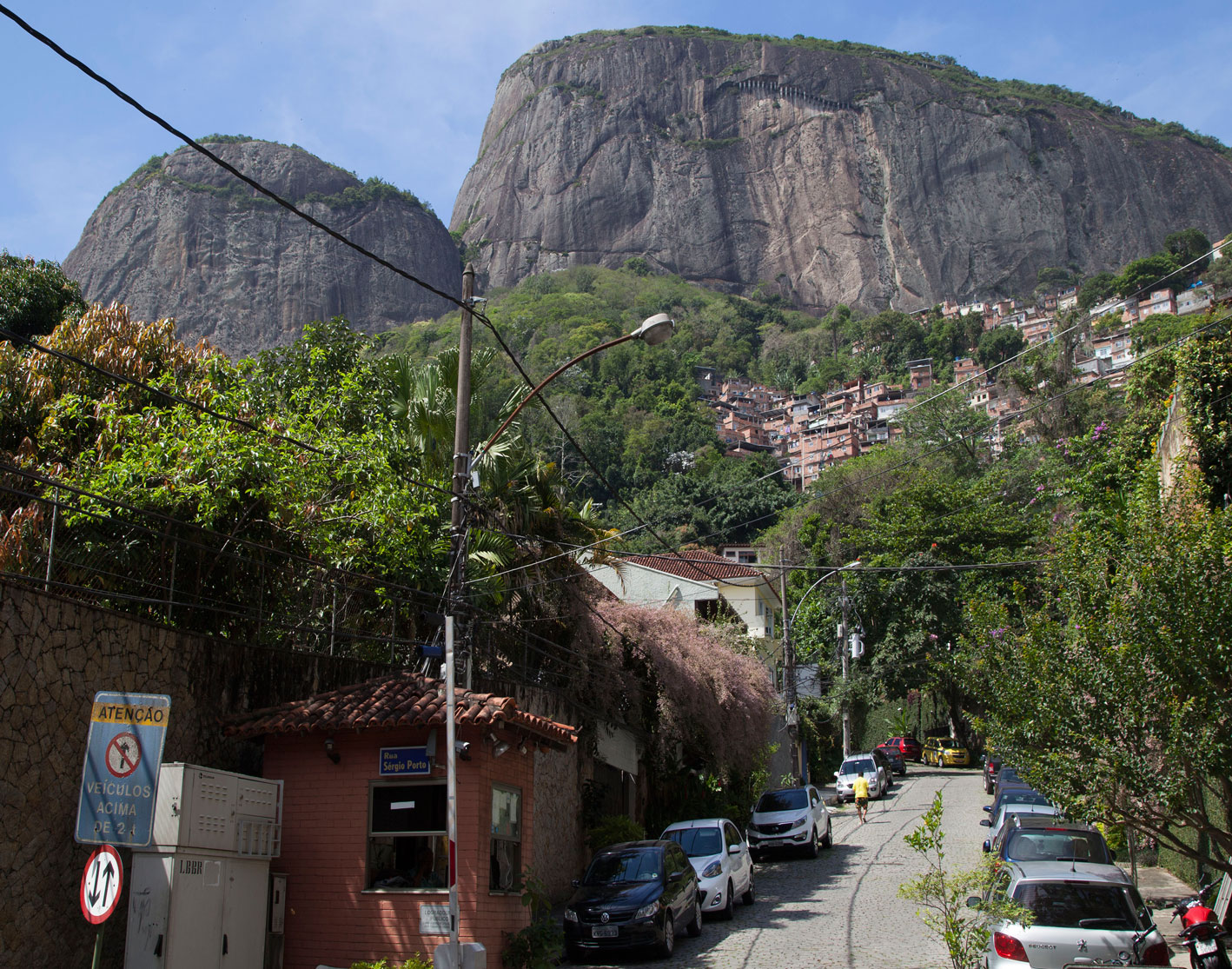
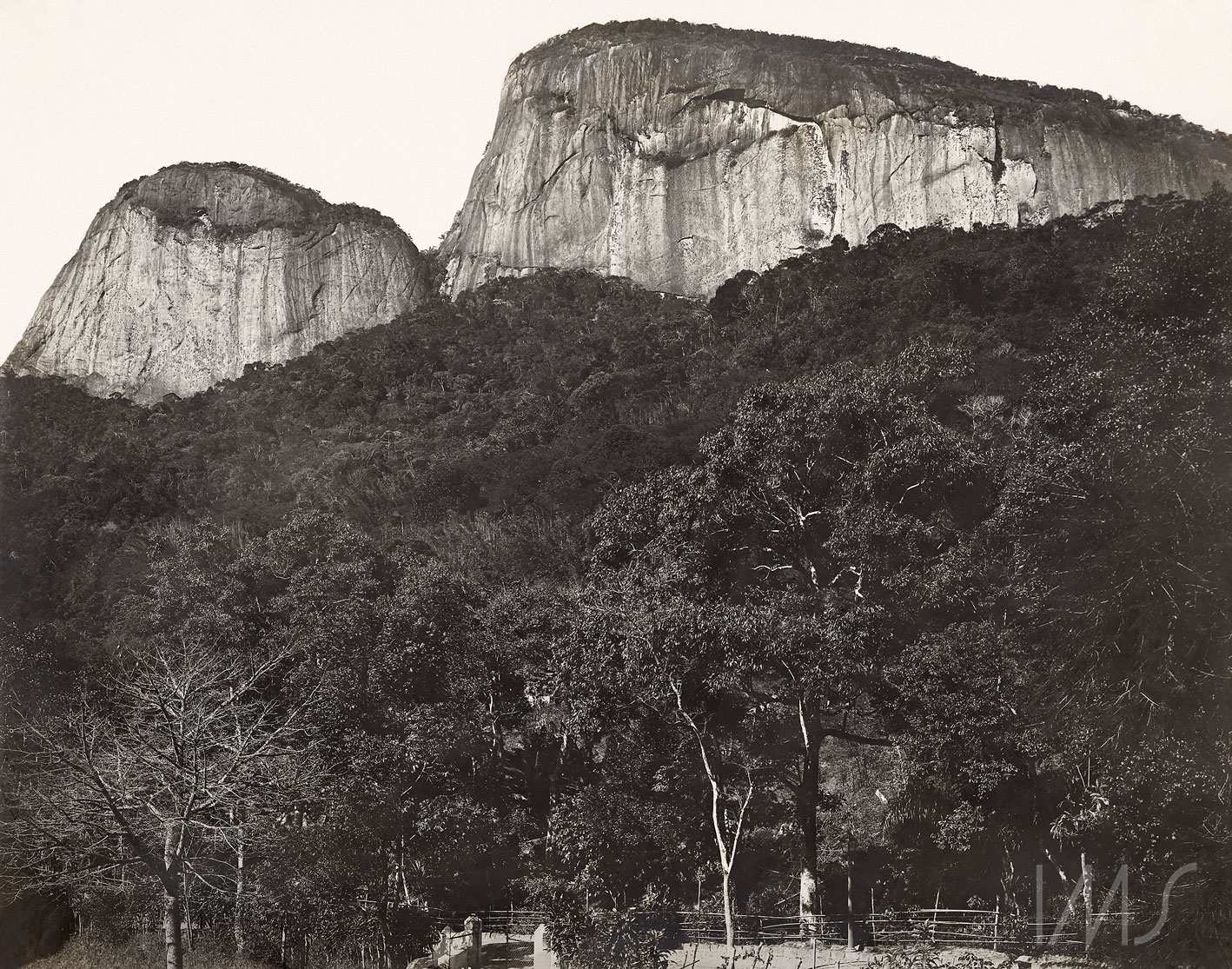
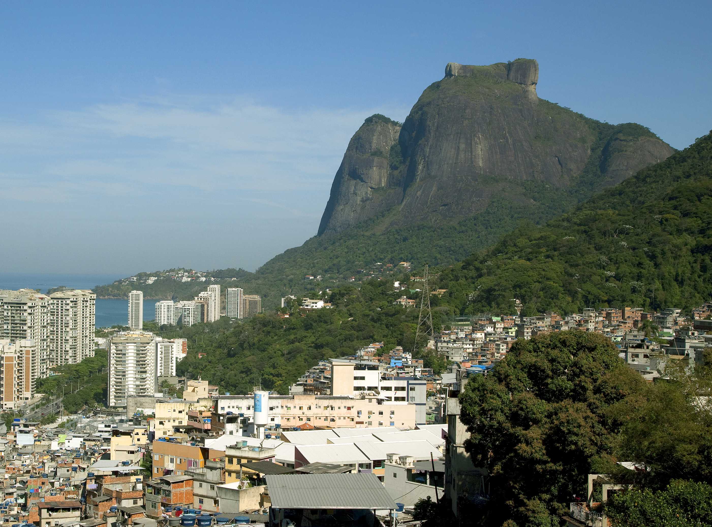
The right photography provides a view of the mansions on Rua Marquês de São Vicente, as well as of the Church of Nossa Senhora da Conceição. In the left photography, however, the high-rise buildings obscure the vie of the church. Instead, between Morro Dois Irmãos, Pedra da Gávea, and part of the Tijuca Forest, several subregions of Rocinha (Um Nove Nove, Laboriaux, and the Terreirão of Rua Um) are visible, as is part of Parque da Cidade, the favela located in Alto da Gávea.

share

Rocinha and Morro Dois Irmãos

home / points of view / Rocinha and Morro Dois Irmãos

Left photo by Ailton Silva (2015) / Right photo by Augusto Malta (1902) (IMS archive)
At the beginning of the 20th century, the region depicted here was known as “streetcar turn,” because it was the end of the streetcar line. Today, this street is commonly used by Rocinha residents to travel between Gávea and Rocinha.
Where homes have been built on the steep slope, the rock has been fortified with containment projects to protect residents from landslides.
share

Avenida Niemeyer and Pedra da Gávea

home / points of view / Avenida Niemeyer

Left photo by Ailton Silva (2015) / Right photo by Armando Pittigliani (1922) (IMS archive)
Avenida Niemeyer was built in 1916 in response to rapid urban expansion. In the 1930s and ’40s, a particularly curvy part of Avenida Niemeyer – incidentally located in the area that would later become Rocinha – was used as an automobile racetrack, called the Circuito da Gávea. Luxury homes, hotels, and the favela of Vidigal were eventually built along the road.
share

São Conrado and Rocinha

home / points of view / São Conrado and Rocinha

Left photo by Ailton Silva (2015) / Right photo by Marc Ferrez (1885) (IMS archive)
The forest covers more ground in the left photo, which also offers a view of Rocinha and São Conrado, the Gávea Golf Club, the Hotel Nacional, and part of Avenida Niemeyer. The right photo depicts the early stages of reforestation, initiated in 1862, with Morro Dois Irmãos (Two Brothers Mountain) in the background.
share