Leblon e Ipanema - View from Estrada das Paineiras
PUBLIC HIGH SCHOOL ANDRÉ URANI NEW TECHNOLOGIES EXPERIMENTAL GYM
Municipal Kindergarten, located at Gávea Road, nº 147.
2ND STREET ENTRANCE
Great circulation point for locals and tourists, at the corner of Gávea Road, nº 315, near the 2nd Street's scenic lookout.
THE BADALO STAGE
Public space built at the time of the construction of the New Street, in 2010, with resources from the Growth Acceleration Program (PAC). Located in the region of 4th Street, near the Way of the Cowboy.
2ND STREET
2nd Street was also designed during the subdivision plan carried out by the Castro Guidão Company, in the 1920's.
PUBLIC HIGH SCHOOL DR. BENTO RUBIÃO
Municipal Elementary School and and Kindergarten, located at Gávea Road, S curve, Vila Verde region.
4TH STREET SQUARE (AKA “DPO”)
Space that housed the old post of the Ostensive Policing Detachment (DPO) where now there is currently a small square, between the entrances of 3rd and 4th Streets.
GYM R1
One of the largest fitness centers in Rocinha, located in the region of the Trampoline, at the corner with the Gávea Road, nº 558.
LARGO DOS BOIADEIROS (COWBOY'S COURT)
It is one of the most central places of Rocinha, where the resident José Boiadeiro raised cattle and took care of a farm with vegetable and fruit plantations.
PUBLIC HIGH SCHOOL FRANCISCO DE PAULA BRITO
Municipal Elementary School and and Kindergarten, located at Dionéia Street, near Maria do Carmo Street, (no number), Dionéia region.
MACUMBA'S COURT
Located on Gávea Road, nº 14, it is a space of great circulation and concentration of residents. For decades people had been practicing Afro-Brazilian religious rituals on the spot (Macumba is a type of spiritual offering), but after the construction of an evangelical church nearby, this practice has dwindled. Part of the residents now call it Flowers' Court. Today the place is home to a flower shop, a van stop and an evangelical Universal Church of the Kingdom of God.
CLUB EMOTIONS
Party space known for hosting funk dances since the 1980s. Located at Gávea Road, nº 580, at the entrance to Rocinha, near the São Conrado subway station.
FIELD OF HOPE
It was once a sports plaza with a large clay field, the Field of Hope. In 1966, many villagers lost their homes in a flood. Local leaders decided to build houses in this area to house the victims of the flood.
THE POPULAR MARKET
Old open market, located next to the Lagoa-Barra Highway, restructured in 2000.
DAYCARE LACYRA FRASÃO
Daycare center at Maria do Carmo Soares do Nascimento Street, nº 14.
CAPADO
At the time of its occupation there was almost no vegetation on this hill, hence the nickname, which in Portuguese has an approximate figurative meaning denoting “bare”.
4TH STREET
Designed as a street in the 1920s, it eventually became an alley only 90 centimeters wide, due to the advance of construction on its margins. In 2011, the federal government relocated residents of former 4th Street and opened the so-called New Street.
PUBLIC HIGH SCHOOL ABELARDO CHACRINHA BARBOSA
Municipal Elementary School and Kindergarten, located at Maria do Carmo Street, (no number), Laboriaux region.
Architectural project by João Filgueiras Lima.
PUBLIC DAYCARE CENTER DR. PEDRO BLOCH
Daycare center located at Santa Marinha Road, nº 25, Gávea, near favela Parque da Cidade.
DIRTY ST'S SQUARE
Public space used for cultural events, such as samba gatherings, meetings of rappers and funkeiros. Located near the exit of the Zuzu Angel Tunnel.
NEW CITY
The locality received this name because it houses the headquarters of an association of residents. It is an allusion to the City Hall of Rio, whose headquarters is in the Cidade Nova neighborhood, in Downtown Rio (Cidade Nova means “new city”).
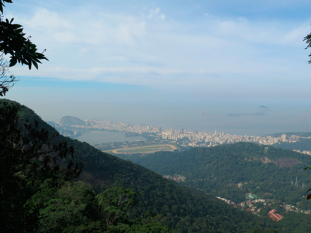
Leblon e Ipanema - View from Estrada das Paineiras

UMUARAMA SPORTS CLUB
Sports club frequented by residents of Rocinha. Umuarama was expropriated by the Municipality in 2012. Currently André Urani High School operates there. Located at Sérgio Porto Street, near Gávea Road, nº 83.
TERREIRÃO
As in other places in Rocinha, in this area the “terreiros” served as practice places for Afro- Brazilian religious rituals before being occupied by residents. Many became leisure spaces such as public squares and soccer fields.
PASTOR ALMIR
The name refers to Baptist pastor Almir Guimarães (1927-2006). In 1969 he joined 22 families to buy the land from a French company, but never passed the title of ownership to the families. The conflict ended in 1980, when Mayor Israel Klabin expropriated the land, benefiting the families. It was the first case of an expropriation in a favela in Brazil where tenure of the lands was awarded to the residents.
BOIADEIRO'S COURT (COWBOY'S COURT)
According to older residents, this space was used by herdsmen who grazed cattle there.
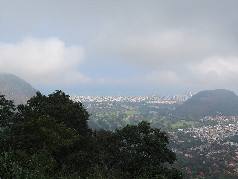
Itanhangá — View from Estrada do Quebra Cangalhas
DR.ALBERT SABIN MEDICAL CENTER
Reference in medical and health care for the residents of Rocinha, located at Gávea Road, nº 250.
VIA ÁPIA'S MOTOTAXI
Located next to the Lagoa-Barra Freeway and to the Rocinha Sports Complex, it is known as the main entrance gate of Rocinha. The motorcycle taxi is the most used transportation in Rocinha, due to its speed and ease of traffic in the particularly mountainous topography of the favela.
DIONÉIA
Dionéia was a village near the street of the same name, which was called 5th Street in the allotment made in the 1920s. Dionéia was the name of a carnivorous plant very common in the region, also known as The Venus Fly Trap.
SOCIAL ACTION PADRE ANCHIETA
One of the oldest institutions in Rocinha, founded by Jesuit priests in 1960.
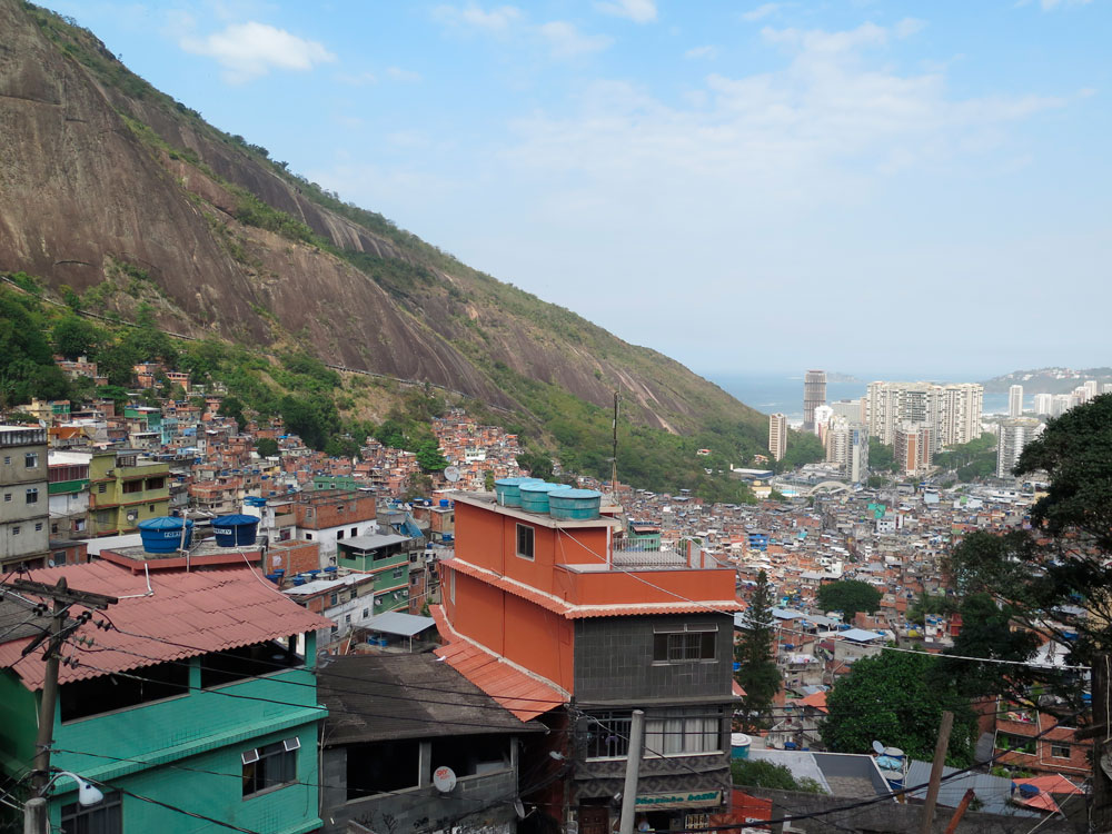
Morro Dois Irmãos, Rocinha and São Conrado — View from Mirante of Rua 2
PUBLIC HIGH SCHOOL AYRTON SENNA
Municipal High School and education of youth and adults. It is located in the Lagoa-Barra Highway, nº 15A, São Conrado, near the Rocinha walkway. Also known as Brizolão 303, architectural project by Oscar Niemeyer.
MACEGA
Macega means “dense forest”, a forest of difficult passage – a characteristic of this region, on the slope of Dois Irmãos Mountain, on the high section of Rocinha.
CACHOPA
According to residents, the name was inspired by a very beautiful young Portuguese woman who lived in the locality. In Portugal, "cachopa" means pretty girl, young girl.
JACKFRUIT TREE
Shortcut often used by residents as interconnection between Gávea Road, near the entrance of 1st Street, and the Dionéia region, next to the Municipal School Francisco de Paula Brito.
Rocinha, São Conrado, Pedra da Gávea - View from Laje do Carlinhos
NOSSA SENHORA DA BOA VIAGEM CHURCH (FOUNDATION)
Catholic Church located at Gávea Road, nº 445, in the Foundation region. The church has been an important reference since the 1960s in the residents' struggle against government promoted removal threats.
ROCINHA'S WALKWAY
This walkway was built in 2010 with funds from the Growth Acceleration Program (PAC), on the Lagoa-Barra Freeway. It was designed by renowned architect Oscar Niemeyer in replacement of an earlier walkway. Connects one of the favela's entrances to the Rocinha Sports Complex.
CACHOPINHA
Micro-região da Cachopa, situada em sua parte baixa. A parte alta é chamada de Cachopão.
PUBLIC DAYCARE CENTER RINALDO DE LAMARE
Municipal Kindergarten, specialized in persons with disabilities, youth and adults. Located at Niemeyer Avenue, nº 776, São Conrado, near the Rocinha walkway.
Comunidade Mata Machado
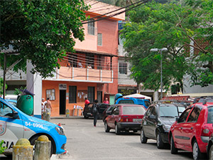
ROCINHA'S PUBLIC LIBRARY
Public cultural space inaugurated in 2012, in Gávea Road, nº 454, near Bob's Burger and the Church N. S. of Boa Viagem, in the locality known as Foundation.
ROCINHA'S SPORTS COMPLEX
Public space built in 2010 with resources from the Growth Acceleration Program (PAC), located at Berta Lutz Street, nº 84.
LABORIAUX
The locality inherited this name from a sanitation company of French origin that existed in the region.
1ST STREET COURT
A multi-sports court located at Gávea Road, nº 220, next to the Albert Sabin Municipal Health Center, in the area of 1st Street.
Lagoa Rodrigo de Freitas — Vista do Mirante Dona Marta
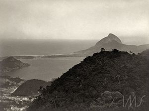
CACHOPA'S SLOPE
Slope near Gávea Road, nº 457, and Rocinha's Public Library.
RINALDO DE LAMARE CITIZEN CENTER
Municipal unit inaugurated in 2004, focused on the social inclusion of the communities of Rocinha, Vidigal and Vila Canoas, as well as projects and programs of various municipalities. Located at Avenida Niemeyer, nº 776.
THE "S" CURVE
Located on Gávea Road, nº 520, it became famous in the 1930s when it was part of the Gávea Circuit, the scene of an international auto racing competition. It was considered one of the most dangerous curves in the world.
PUBLIC DAYCARE CENTER CASTELINHO
Daycare center located at Estrada da Gávea nº 308, Samaritana Pass, nº 22.
Floresta da Tijuca — View from Mesa do Imperador
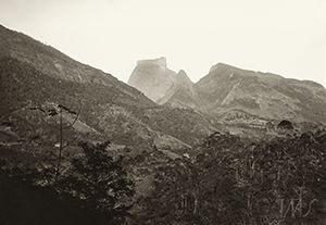
199
The name of the present locality was the number of a mansion in Gávea Road, at the border between Rocinha and Gávea.
VILA VERMELHA
At the beginning of the settlement of Rocinha, it was a locality with a great concentration of a type of red mud, before houses completely occupied the area, hence the name (vermelha means red).
VILA VERDE (“GREEN VILLE”)
Before its occupation in the 1990s, the locality received this name because it was a closed forest with a spring.
THE RED GATE
Main access to the headquarters of the local Peacekeeping Police Unit (UPP). Located at Gávea Road, nº 267, near the Ecological Park of Rocinha and the Bahia building, also known as "Empire State" due to its verticality.
View from Comunidade de Furnas and Cachoeira River
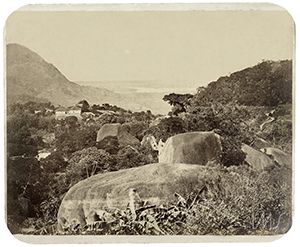
HOUSE OF PEACE
Public institution inaugurated in 2004, in the locality of Cachopa, at Gávea Road, nº 477. It was deactivated in 2006, but the name remains as a local reference.
1ST STREET
The locality received this name because the entrance of a private property at Gávea Road n ° 306 had red gates – the property was rumored to be haunted.
BAIRRO BARCELOS
The name comes from the president of the Cristo Redentor Company, Brother Barcelos, who once managed the lands in Rocinha.
1ST STREET ENTRANCE
Great circulation point for locals and tourists. Located on the corner of Gávea Road, nº 233, next to Carlinhos's Terrace and the centenary Jackfruit tree at 1st St.
About Memória Rocinha
UPA 24H
Emergency Health Unit located at Gávea Road, nº 522, in the region of the "S" Curve.
RED GATE
The locality received this name because the entrance of a private property at Gávea Road n ° 306 had red gates – the property was rumored to be haunted.
FAZ DEPRESSA (DO IT QUICKLY)
Houses were built quickly, often overnight, to avoid removals.
SHORTCUT 199
Used by locals as a link to the neighborhood of Gávea. Its entrance is located in Gávea Road, nº 199.
PAC HOUSING PROJECT
Built in 2010 with resources from the Growth Acceleration Program (PAC), this housing project has 144 units and is located at Gávea Road, nº 374, near the entrance to the Dionéia region.
VILA CRUZADO
The town was called Vila Miséria (Misery Village) and had only shacks. In the late 1980s, after the Cruzado Economic Plan (1986), which changed the Brazilian currency system, it was renamed Vila Cruzado.
3RD STREET
3rd Street was designed during the subdivision plan carried out by the Castro Guidão Company, in the 1920's. With the advance of irregular building on its margins, the street became a narrow alley.
PAULA BRITO ST'S SHORTCUT
Located on Gávea Road, nº 289, it is widely used by residents to reduce the route between the regions of 1st Street and Paula Brito St.
Laboriaux
VILA VERDE'S “BIG STEPS”
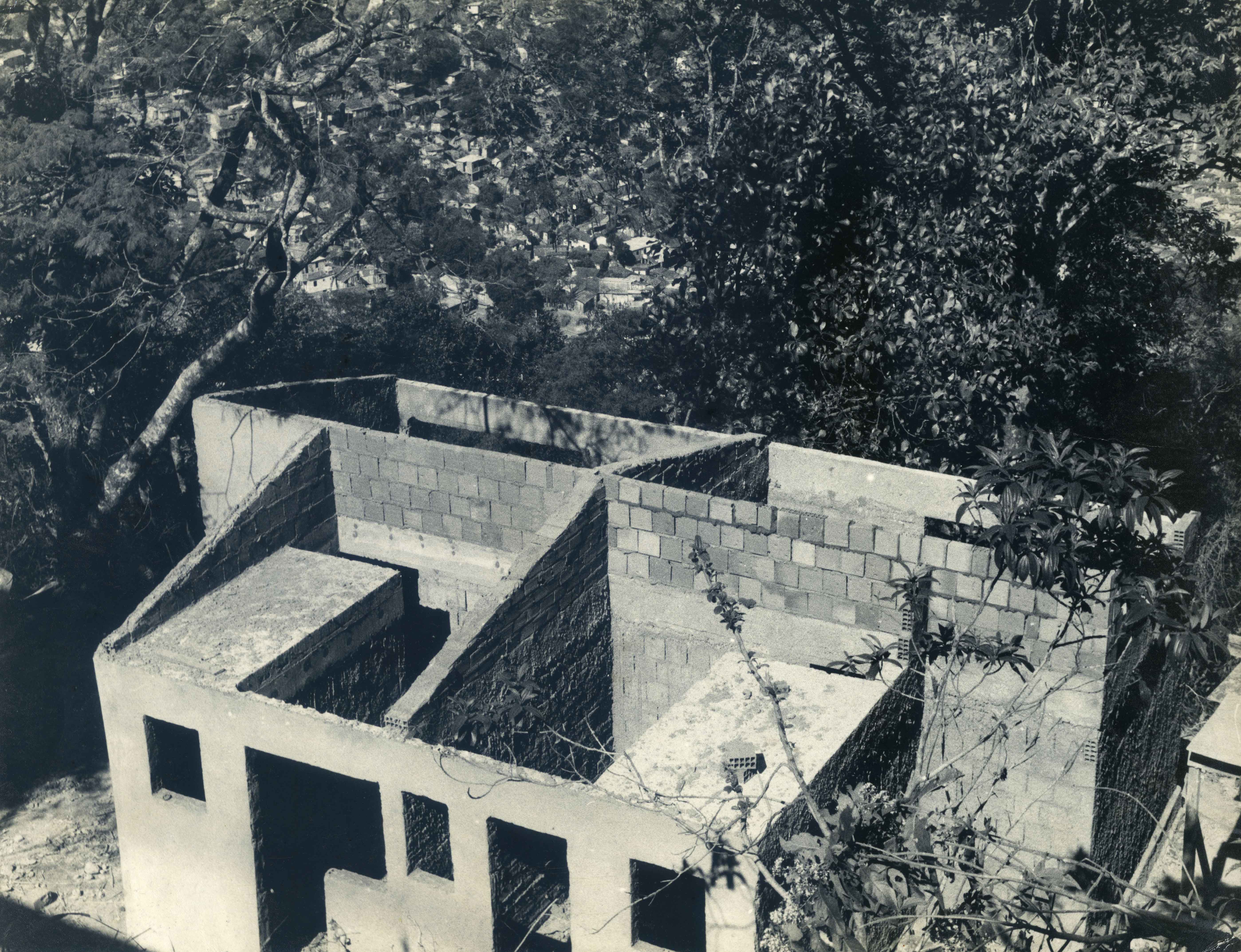
Staircase with about 100 steps connecting the region of Vila Verde to Gávea Road, nº 525, next to the "Muro das Lembranças" (“The Remembrance Wall” - graffiti mural with references to Rocinha's historical moments).
DIRTY LAUNDRY
In this locality informal free-lance clothes-washers performed their craft, using wells and streams as sources of water. However, the low quality of the soap left the clothes grimy and dirty-looking, hence the name.